Your Shopping Cart is empty.


Download sample
File Details
Published: 2024-04-09 11:33:52.660053 Category: Science Type: Illustration Model release: No
Share
       

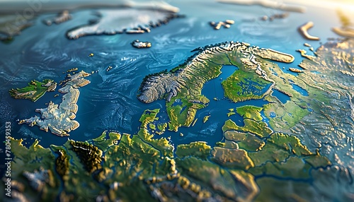
3D illustration showing flattened satellite view of Scandinavia and Northern Europe's geography and topography

Contributor: AhmadTriwahyuutomo
ID : 780459353

TitleFilesize
Illustration5824x3328


Buy on Adobe Stock

Keywords
scandinavia, map, geography, cartography, physical, satellite, europa, northern, north, scandinavian, worldwide, projection, atlas, continent, three-dimensional, detailed, planet, realistic, global, land, science, textured, earth, distant, earth, large, relief, topography, surface, mapping, terrain, sweden, illustration, nordic, denmark, altitude, space, iceland, finland, peninsula, country, environment, norge, aerial, mountain, view, flat, flattened, planisphere