Your Shopping Cart is empty.


Download sample
File Details
Published: 2023-04-03 12:18:27.581574 Category: Graphic Resources Type: Illustration Model release: No
Share
       

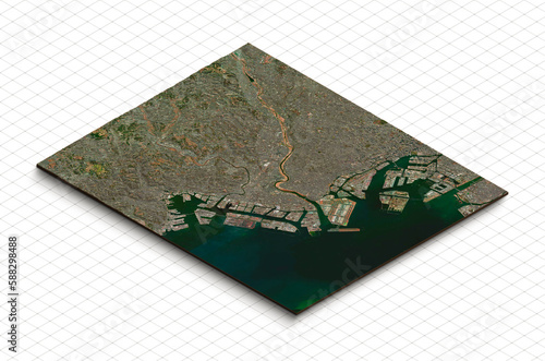
3d model of Haneda, Ota city, Japan. Isometric map virtual terrain 3d for infographic. Geography and topography planet earth flattened satellite view

Contributor: YuiYuize
ID : 588298488

TitleFilesize
Illustration2991x1978


Buy on Adobe Stock

Keywords
geography, topography, topographic, hill, shaded, state, mountain, city, country, aerial, hill, satellite, lake, country, symbol, infographic, isolated, dirtied, ecology, mountain, slice, grass, land, model, graphic, terrain, green, natural, nature, isometric, dirt, stone, square, field, piece, background, earth, ground, illustration, landscape, render, cut, section, view, three-dimensional, map, texture