Your Shopping Cart is empty.


Download sample
File Details
Published: 2025-03-09 06:35:02.410382 Category: Buildings and Architecture Type: Illustration Model release: No
Share
       

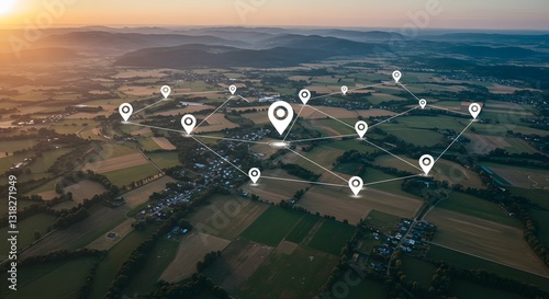
Aerial view of land with network markers representing land development planning and connectivity. background

Contributor: Adobebaloch
ID : 1318271949

TitleFilesize
Illustration5632x3072


Buy on Adobe Stock

Keywords
spacial, acquisition, investment, valuation, assessment, estate, mapping, development, planning, rural, land, appraisal, project, system, utilization, growth, registry, policy, improvement, real, surveying, construction, property, subdivision, geographic, economic, use, site, infrastructure, information, management, resource, plotting