Download sample
File Details
Published: 2025-09-04 18:40:19.207837 Category: The Environment Type: Photo Model release: NoShare
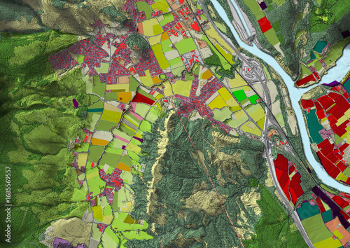
Concept de fond géographique - Données lidar HD - Vue aérienne de la topographie et occupation du sol d'un territoire - Rendu 2d modèle numérique de terrain et nuage de points Lidar HD
Contributor: Olivier-Tuffé
ID : 1685569557
)