Download sample
File Details
Published: 2012-06-30 00:45:50.107438 Category: Other Central American Countries Type: Vector Model release: NoShare
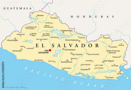
El Salvador political map with capital San Salvador, national borders, most important cities, rivers and lakes. English labeling and scaling. Illustration. Vector.
Contributor: Peter Hermes Furian
ID : 42828971
)