Your Shopping Cart is empty.


Download sample
File Details
Published: 2024-04-09 11:35:02.225056 Category: Science Type: Illustration Model release: No
Share
       

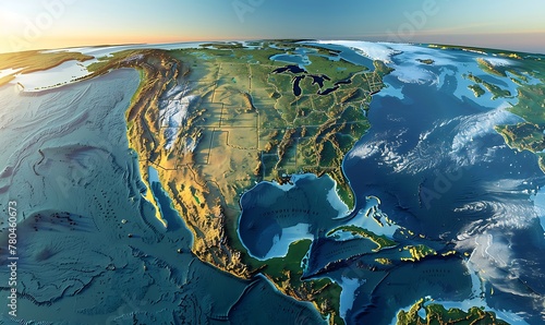
geography and topography of the USA through a detailed physical map, showcasing Earth's landforms in a 3D illustration

Contributor: AhmadTriwahyuutomo
ID : 780460673

TitleFilesize
Illustration5696x3392


Buy on Adobe Stock

Keywords
us, map, satellite, physical, earth, planet, geography, cartography, topography, continent, detailed, america, atlas, flatten, textured, hi-res, geology, country, north america, american, surface, land, altitude, earth, landscape, elevation, science, three-dimensional, illustration, large, background, flat, planisphere, landform, relief, from above, terrain, topographic, ocean, territory, global, height, north, canada, distant, view, from, up high, geographic