Download sample
File Details
Published: 2022-04-05 16:42:22.218335 Category: Graphic Resources Type: Illustration Model release: NoShare
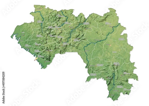
Isolated map of Guinea with capital, national borders, important cities, rivers,lakes. Detailed map of Guinea suitable for large size prints and digital editing.
Contributor: mapsandphotos
ID : 497084289
)