Download sample
File Details
Published: 2022-04-02 22:33:59.531869 Category: Graphic Resources Type: Illustration Model release: NoShare
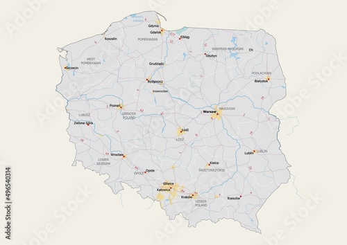
Isolated map of Poland with capital, national borders, important cities, rivers,lakes. Detailed map of Poland suitable for large size prints and digital editing.
Contributor: mapsandphotos
ID : 496540314
)
Keywords
poland, map, illustration, warsaw, krakau, west, pomerania, lublin, greater, szczecin, wroclaw, lower, silesia, lesser, lodz, poznan, danzig, tour tourism, travel, visit, symbol, road, region, province, detailed, isolated, white, cartography, concept, contour, country, graphic, outline, shape, territoryRelated items
-

#801540337
-
#1434315923
-
#1035413857
-
#107996758
-
#1434271454
-
#524707604
-
#926557695
-
#1434262591
-
#1434329070
-
#1434324922
-
#34317308
-
#1434347241
-
#1434340493
-
#1434258713
-
#1670560214
-
#289021464
-
#1434315952
-
#1434323089
-
#169026903
-
#1434302385
-
#1434312154
-
#1434251827
-
#1434296267
-
#761628857
-
#1353324966
-
#1200421759
-
#71208187
-
#1434250538
-
#1527175509
-
#1434305349
-
#504187806
-
#1434270927