Your Shopping Cart is empty.


Download sample
File Details
Published: 2022-03-31 14:38:14.126017 Category: Graphic Resources Type: Vector Model release: No
Share
       

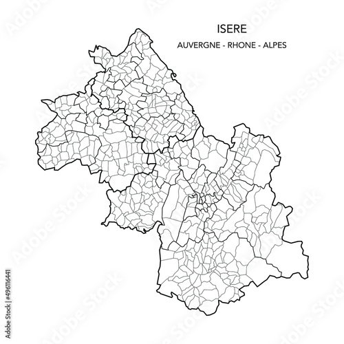
Map of the Geopolitical Subdivisions of The Département De L Isère Including Arrondissements, Cantons and Municipalities as of 2022 - Auvergne Rhône Alpes - France

Contributor: Dorky
ID : 496116441

TitleFilesize
Vector3000x3000


Buy on Adobe Stock

Keywords
2022, administration, administrative, atlas, background, blank, border, boundary, cartography, city, country, detailed, division, france, french, geography, graphic, grenoble, illustration, infographic, internal, isere, isère, limit, map, municipality, municipality, outline, political, region, regional, subdivision, subdivision, territory, vector, vercors, vienne, village, village