Your Shopping Cart is empty.


Download sample
File Details
Published: 2025-10-30 22:11:09.012448 Category: Graphic Resources Type: Vector Model release: No
Share
       

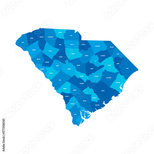
South Carolina, SC - detailed political map of US state. Administrative map divided into counties. Blue map with county name labels. Vector illustration

Contributor: pyty
ID : 1773106565

TitleFilesize
Vector3873x3873


Buy on Adobe Stock

Keywords
blue, charleston, columbia, label, name, map, us, cartography, state, district, election, us, federal, geography, border, county, america, topography, boundary, diagram, administrative, graphic, democracy, united, land, political, subdivision, chart, local, government, north, location, us, silhouette, isolated, clip art, shape, american, solid, atlas, system, detailed