Your Shopping Cart is empty.


Download sample
File Details
Published: 2023-04-02 13:22:29.817604 Category: Landscapes Type: Illustration Model release: No
Share
       

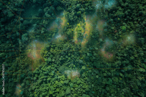
Using satellite imagery to analyze forests and track deforestation helps us to monitor and combat the harmful effects of deforestation on our planet. Generative AI

Contributor: yarohork
ID : 587976557

TitleFilesize
Illustration4200x2800


Buy on Adobe Stock

Keywords
satellite, imagery, forest, deforestation, monitoring, combat, harmful, effect, planet, environment, technology, forest, loss, conservation, sustainability, green, earth, climate, change, datum, analysis, environmental, protection, remote, system, global, natural, resource, ecological, biodiversity, footprint, degradation, management, land, mapping, crisis, ecosystem, vegetation, service, cover, health, restoration, preservation, development, ecology, science, aerial