Download sample
File Details
Published: 2021-02-08 10:07:27.860243 Category: Graphic Resources Type: Vector Model release: NoShare
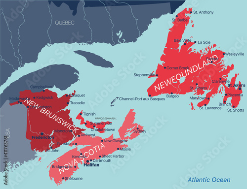
Vector color editable map of Atlantic provinces of Canada New Brunswick, Nova Scotia, Prince Edward Island and province of Newfoundland with capitals, national borders, cities and towns, rivers and
Contributor: olinchuk
ID : 411763761
)
Keywords
map, canada, province, city, prince edward island, america, new, island, brunswick, border, graphic, prince, illustration, maritime, quebec, scotia, edward, national, nova, vector, cartography, geography, administrative, english, french, region, territory, town, state, united, us, northwest, us, british, east, gulf, maine, north, country, line, newfoundland, symbol, background, detailed, atlas, new brunswick, north america, canadian, british columbiaRelated items
-

#1768271453
-
#219927843
-
#174876126
-
#222824890
-
#815134534
-
#400582816
-
#134406792
-
#204757924
-
#1128563777
-
#410453933
-
#554946018
-
#774484505
-
#1728833370
-
#948980265
-
#774479626
-
#422140717
-
#138126753
-
#218068704
-
#1728704471
-
#137845364
-
#368889515
-
#1243271256
-
#145267174
-
#971972795
-
#414342526
-
#1467258479
-
#222825295
-
#89825602
-
#1113618525
-
#401072815
-
#654596082
-
#221786555