Your Shopping Cart is empty.


Download sample
File Details
Published: 2024-07-02 15:42:04.374123 Category: Graphic Resources Type: Vector Model release: No
Share
       

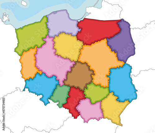
Vector illustrated blank map of Poland with provinces and administrative divisions, and neighbouring countries and territories. Editable and clearly labeled layers.

Contributor: asantosg
ID : 870734483

TitleFilesize
Vector4183x3586


Buy on Adobe Stock

Keywords
poland, europa, warsaw, silesia, pomerania, lublin, lodz, regional, region, state, national, country, ocean, sea, illustrated, map, blank, vector, illustration, political, administrative, division, border, editable, info, infographic, white, background, graphic, detailed, geography, cartography, design, colours, colourful, isolated, physical, information, english, labeled