Your Shopping Cart is empty.


Download sample
File Details
Published: 2019-07-08 09:41:17.857641 Category: Travel Type: Vector Model release: No
Share
       

Vector isolated illustration of simplified administrative map of Israel. Borders of the districts (regions)
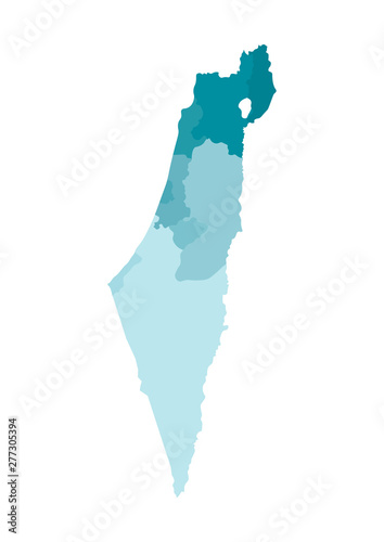
. Colorful blue khaki silhouettes. Note: map shown with disputed territories

Contributor: Olli
ID : 277305394

TitleFilesize
Vector7084x10000


Buy on Adobe Stock

Keywords
israel, map, region, district, administrative, division, atlas, background, border, blue, boundary, cartography, chart, colours, colourful, concept, contour, country, county, flat, geography, graphic, icon, illustration, isolated, land, national, outline, province, shape, silhouette, khaki, simplified, state, symbol, vector, white, jerusalem, north, haifa, center, tel aviv, south, gaza, disrobed