Your Shopping Cart is empty.


Download sample
File Details
Published: 2022-05-13 14:16:06.980288 Category: Graphic Resources Type: Vector Model release: No
Share
       

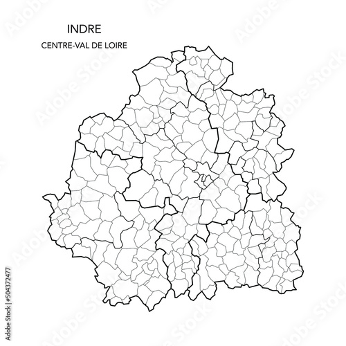
Vector Map of the Geopolitical Subdivisions of The Département De L’Indre Including Arrondissements, Cantons and Municipalities as of 2022 - Centre-Val de Loire - France

Contributor: Dorky
ID : 504372477

TitleFilesize
Vector3000x3000


Buy on Adobe Stock

Keywords
2022, administration, administrative, atlas, background, berry, blank, border, boundary, cartography, center, city, country, detailed, division, france, french, geography, graphic, illustration, indre, infographic, internal, limit, map, municipality, municipality, outline, political, region, regional, subdivision, subdivision, territory, vector, village, village, department