Your Shopping Cart is empty.


Download sample
File Details
Published: 2022-04-24 14:36:48.152425 Category: Graphic Resources Type: Vector Model release: No
Share
       

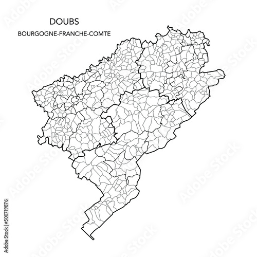
Vector Map of the Geopolitical Subdivisions of The Département Du Doubs Including Arrondissements, Cantons and Municipalities as of 2022 - Bourgogne-Franche-Comté - France

Contributor: Dorky
ID : 500719876

TitleFilesize
Vector3000x3000


Buy on Adobe Stock

Keywords
2022, administration, administrative, atlas, background, blank, border, boundary, cartography, city, country, detailed, division, france, french, geography, graphic, illustration, infographic, internal, limit, map, municipality, municipality, outline, political, region, regional, subdivision, subdivision, territory, vector, village, village, franche-comté, doubs