Your Shopping Cart is empty.


Download sample
File Details
Published: 2024-10-08 18:15:08.607068 Category: Graphic Resources Type: Illustration Model release: No
Share
       

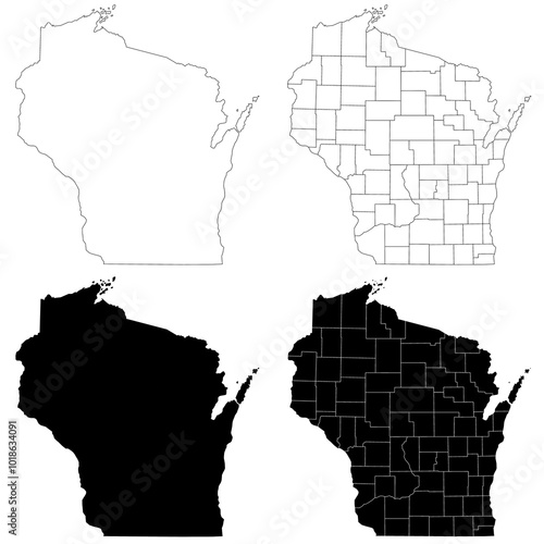
Wisconsin administrative map, Wisconsin outline and counties state map set - illustration version

Contributor: Akhtar Ansari
ID : 1018634091

TitleFilesize
Illustration6000x6000


Buy on Adobe Stock

Keywords
wisconsin, colours, detailed, blank, set, pattern, silhouette, 4, outline, single, travel, element, coloured, district, border, shape, group, map, simple, town, boundary, background, coastline, borough, map, shoreline, america, state, drawing, highlighted, cartography, city, serial, series, county, line, province, isolated, contour, district, black, design, us, empty, city