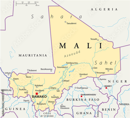
Galaxy Cases: Mali political map with the capital Bamako, national borders, most important cities, rivers and lakes. Illustration with English labeling and scale. Vector.
Contributor: Peter Hermes Furian
ID : 40437772
Image size:
SHARE
Other prints and products

Canvas Prints
30 USD or Credits
Framed Prints
10 USD or Credits
Prints and Posters
5 USD or Credits
Metal Prints
10 USD or Credits
Acrylic Prints
10 USD or Credits
iPhone Cases
30 USD or Credits
Pillows
18 USD or Credits

Duvet Covers
100 USD or Credits
Shower Curtain
50 USD or Credits
T-Shirts
20 USD or Credits
Greeting Cards
3 USD or Credits

Tote Bags
20 USD or Credits