Download sample
File Details
Published: 2022-06-26 17:10:54.283441 Category: Graphic Resources Type: Photo Model release: NoShare
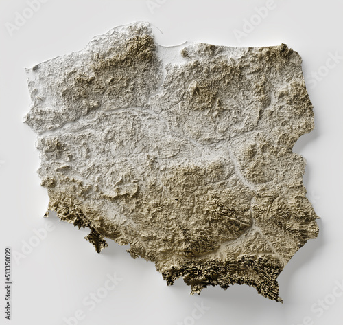
Shaded relief map with vertical exaggeration of Poland. Created of Shuttle Radar Topography Mission (SRTM) free elevation data from NASA using 3D software.
Contributor: gallinago_media
ID : 513350899
 free elevation data from NASA using 3D software.'))
Related items
-

#513350899
-
#679204704
-
#1286048997
-
#558778366
-
#582184820
-
#251554428
-
#1477061156
-
#848030936
-
#45507450
-
#1721893020
-
#1652495783
-
#1523673588
-
#231528128
-
#1282080689
-
#1237079753
-
#1299701224
-
#1320060743
-
#840505500
-
#623856124
-
#1336085582
-
#1783285249
-
#1352366453
-
#1125762405
-
#460854029
-
#1508347435
-
#146627797
-
#1112348888
-
#679186127
-
#1149890985
-
#566217629
-
#596423807
-
#67819476